May 4th
With the
previous night's restless sleep fresh in both memory and stamina, I opted, for
the last night in Braka, to put another layer of clothes on and sleep under the
blankets; a more restful slumber I could not have asked for and I woke up full
of energy, which was quite fortuitous, considering we had to once again pick up
our backpacks after nearly two days of trekking without them.
The
Annapurna Circuit, though fairly straightforward, does offer quite a few side
treks (such as the ones we'd just taken) or alternate paths, like taking the
high road through Ngawal, rather than the main road between Pisang and Manang.
One such alternative was the detour we were just about to embark on - instead
of going through Manang and then, at the crossroads, continue to the right
directly towards Thorong La, we would turn left for a two-day trip to Tilicho Lake, one
of the highest lakes in the world and reputedly the highest of its size, an
exciting prospect which prompted us to leave Braka with renewed eagerness.
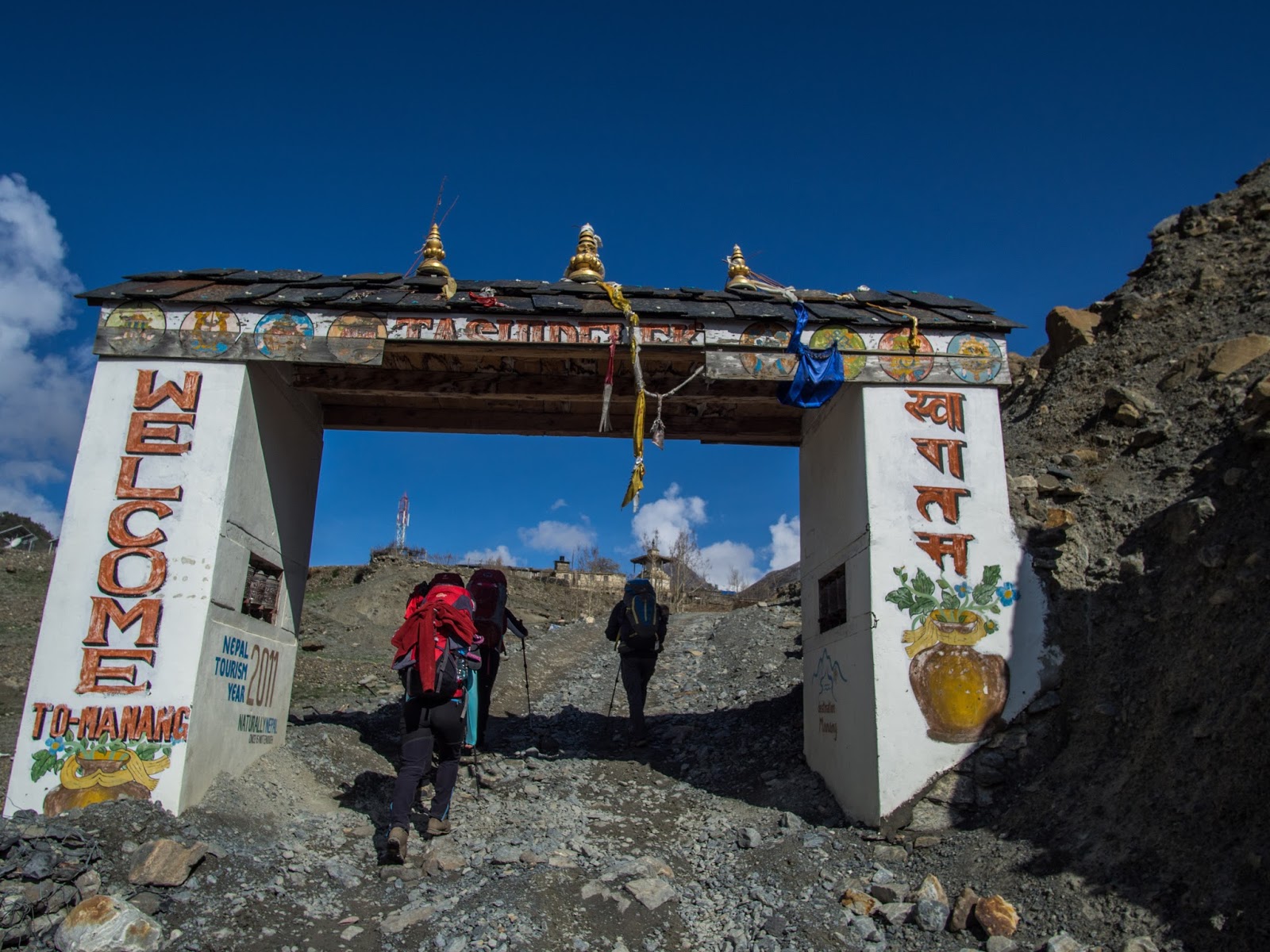 |
| Some 30 minutes away from Braka, the welcoming entrance to Manang |
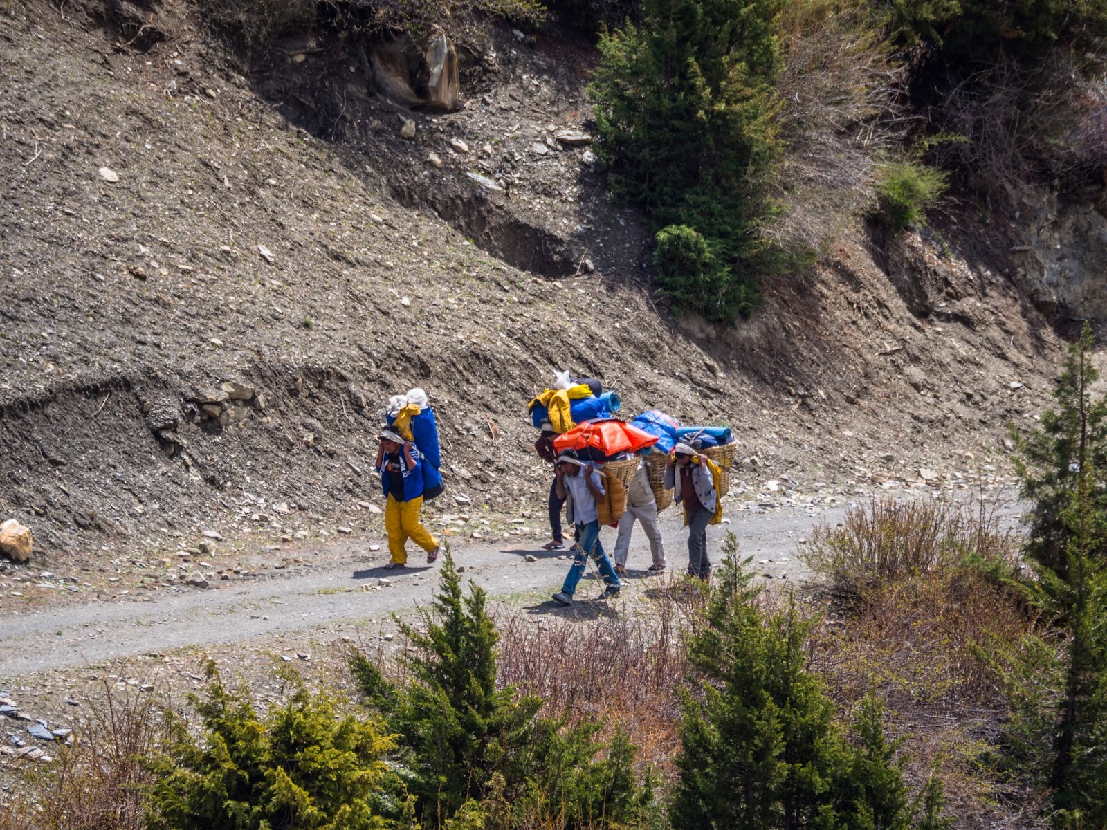
One of the
things that have impressed me greatly about Nepal, as I'm sure it's impressed
anybody who's been there, is the people's sheer endurance when it comes to
carrying stuff. From the hired porters, who lugged upwards of 15 kilos (if I
had to guess, I'd have eyeballed most of the ones I saw at around 25 kg) worth
of baggage along the tourists, climbing the same slopes, oftentimes wearing
simple sports shoes, to the road workers breaking and carrying building
material (or more to the point, rocks). As Manang was a flourishing village in
what I imagined was rapid expansion (or at least that's what Nicu's comparison
to what it looked like 2 years prior led me to believe), it obviously required
a lot of building material, so, as we entered, we passed several people busily
gathering, breaking and carrying rocks onto the plateau where the village
expanded.
 |
| Rock haulers. One looked about 13 years old, the other 73. Notice the footwear. |
Likewise,
because Manang is a bit of an end of the road when it comes to mechanised
transportation (well, it does continue for a bit more, but not much), we went
by a good number of porters carrying supplies to the villages higher up the
valley, with improvised packs hanging heavily on their backs and forehead (they
use an interesting method whereby, instead of the hip strap we're used to on
our backpacks, they use a strap that anchors the weight to their forehead and
walk slightly bent forward; while I've not tried carrying anything like that
and I don't doubt its effectiveness, seeing how some of them briskly walked
right past us, I do imagine it puts a mercilessly high strain on the spine,
especially the cervical segment). The enormous loads these people stoically
carried put to shame any whining and muttering we might have done concerning
our own backpacks' weights, though, in all arrogant honesty, I did feel a certain
degree of pride when we managed to go past groups of light-packed tourists
accompanied by porters hauling their heavy stuff. Most of that pride naturally
evaporated upon noticing said tourists were largely elderly, but I'd rather not
dwell on details.
 |
| They do not make it look easy. |
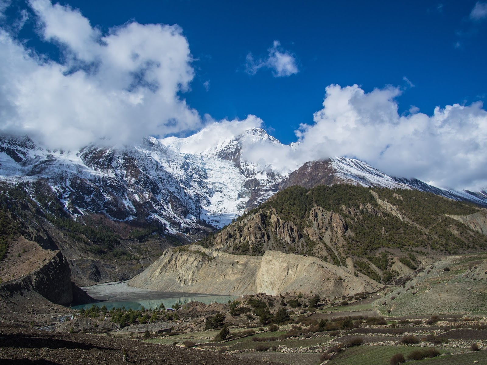 |
| A last, closer view of the Gangapurna lake, with its namesake peak towering above. |
The path
from Manang to Khangsar (which was our lunch-break village, at 3756 m altitude)
went up along the Marshyangdi
river, crossing it a couple of times on those long, narrow, stable but
nevertheless intimidatingly long and high steel bridges, leaving behind us the
spectacular views of the Annapurna III and IV that we'd got used to the last
days, with exciting promises of seeing Tilicho and Nilgiri soon.
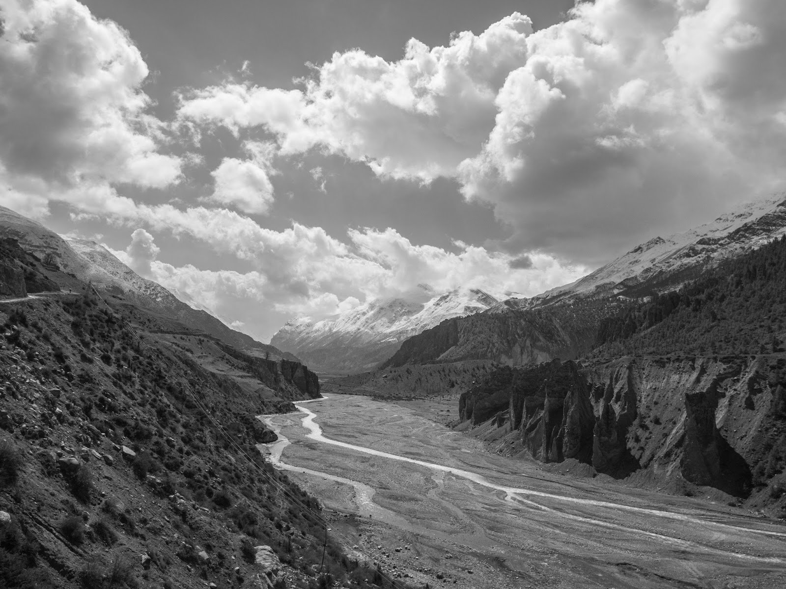 |
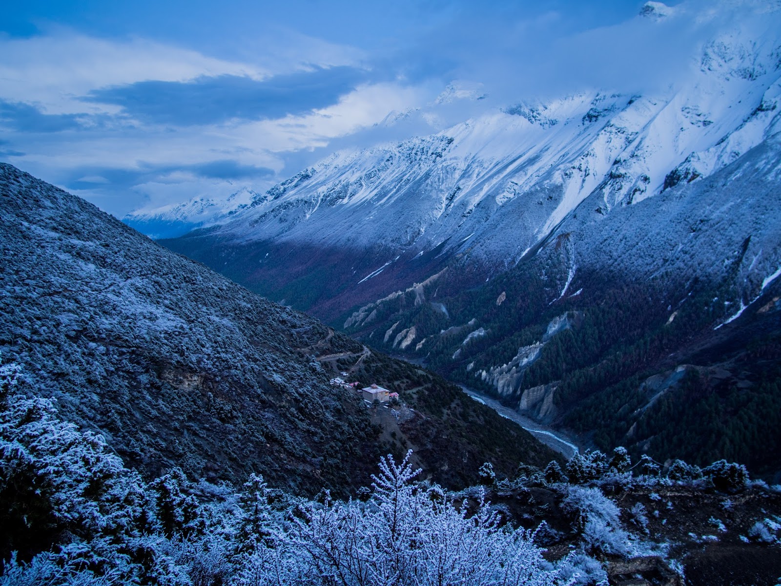
| A look back down the Marshyagdi river |
While looking
for a place to eat in Khangsar I came across a poster advertising a bike rental
service, saying something to the effect of "the hard part is now behind
you, but the journey's not over, why not rent a bike to enjoy pedaling all the
way to Besishahar?" and I remember thinking "yeah, that's right,
you've done the hard part, you've climbed all this way, you've gone up to
Milarepa and Ice Lake, you the man, how difficult can Thorong La prove to
be?". Clairvoyance is a skill I was never quite able to fully master.
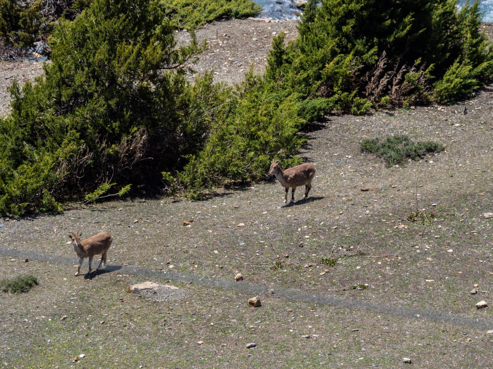 |
| Blue sheep were starting to become a de rigueur sighting |
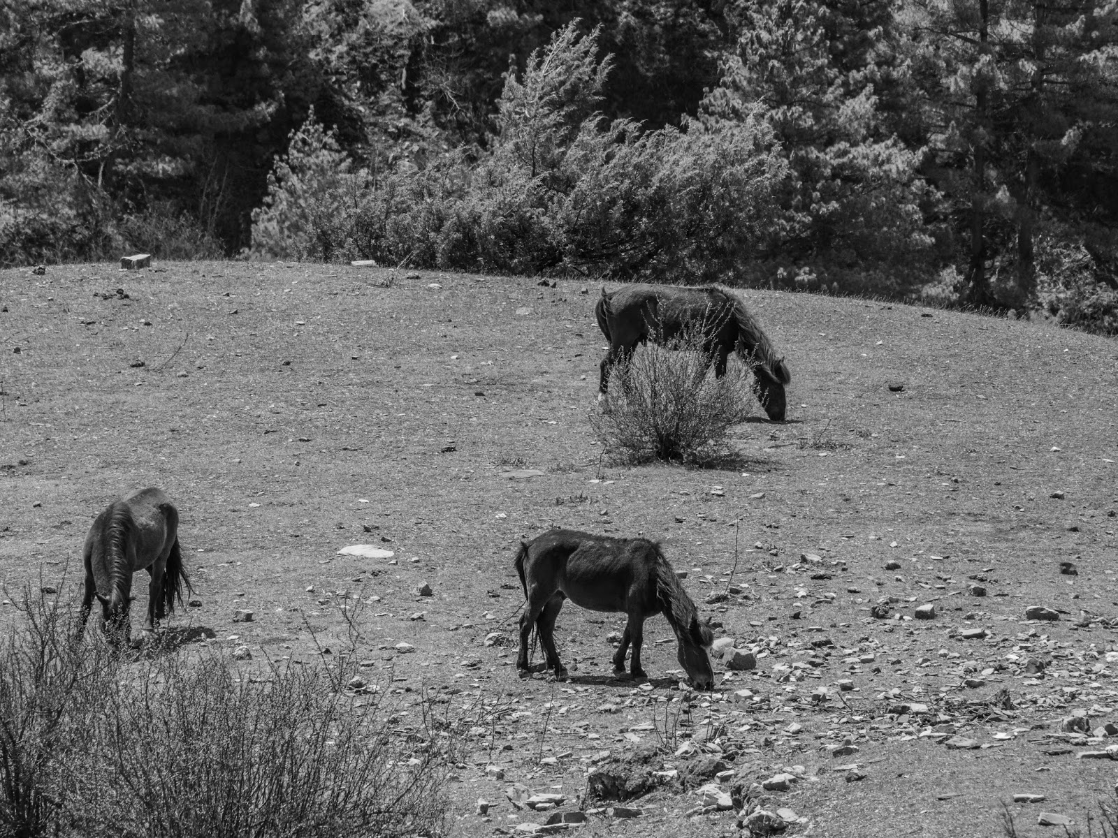 |
| Grazing horses, on the other hand, I didn't see quite as often |
 |
| It seems to be good form to keep up with at least one close-up of a clound-engulfed icy peak per post |
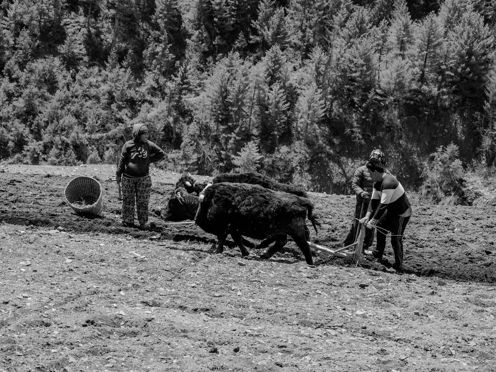 |
| Field work near the entrance to Khangsar |
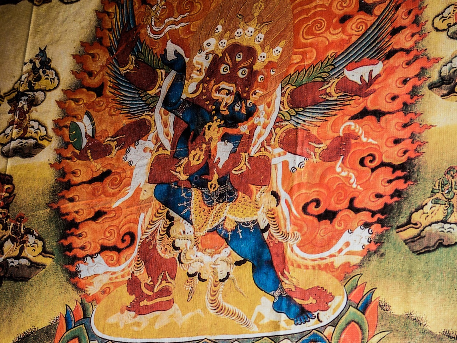 |
| A passageway inside Khangsar painted with Buddhist scenes. A bit scary, some of them. |
 |
| A fine sentiment. Could work a bit on spelling. |
The weather predictably worsened after lunch,
and we continued the rest of the path to Shree Kharka (a small establishment
with no more than a few buildings, specifically intended as teahouses on the
way to Tilicho; I would estimate its altitude around 4000 m, though I'm not
certain) under a drizzle which eventually turned into snow. The climb was quite
steep and made none the easier by the slippery mud, but the distance wasn't too
long. A monastery preceded Shree Kharka, and the rain stopped just as we were
coming into sight of it; clouds of mist were rising and partially covering it,
creating a powerful, mystical image, but unfortunately I'd stashed my camera
away during the snowfall and hadn't access to it.
The accommodations proved to be unexpectedly
good, considering their remoteness; we spent most of the afternoon and evening
inside the bright dining room, with a great view behind us; it was quite a bit
more crowded than the places we'd stayed before, which made for a babelian
scene with people from Germany, Canada, the Ukraine, Romania, Israel and Nepal
sitting around the warm stove, speaking 5 different languages in an overly friendly
and diverse atmosphere.
 |
| Left to right, Israeli, Canadian, German (checking time, how stereotypical), Nepali, Ukranian.Stove getting the deservedly central position. |
I managed to take a few more shots as the sun was
setting (the weather having improved significantly) before going to bed (once
again, warmly clothed and under the blankets, because screw the sleeping bag; Adriana, who had no problem sleeping in hers,
donated her extra blanket to me, so once I again I slept quite comfortably).
The next day had an early start, as the portion between Shree Kharka and
Tilicho Base Camp is ideally crossed as close to sunrise as possible to
minimise the risk of landslides. Time to add a bit more excitement to the
adventure!
 |
| The monastery we'd passed on the way up and the whole river valley behind us |
 |
| Mist rising from the river valley, sun setting behind the mountains. |
 |
| This is becoming something of a repetition, but seeing as how it's in different phases and all, I still think it's worth adding them! |
Comments
Post a Comment